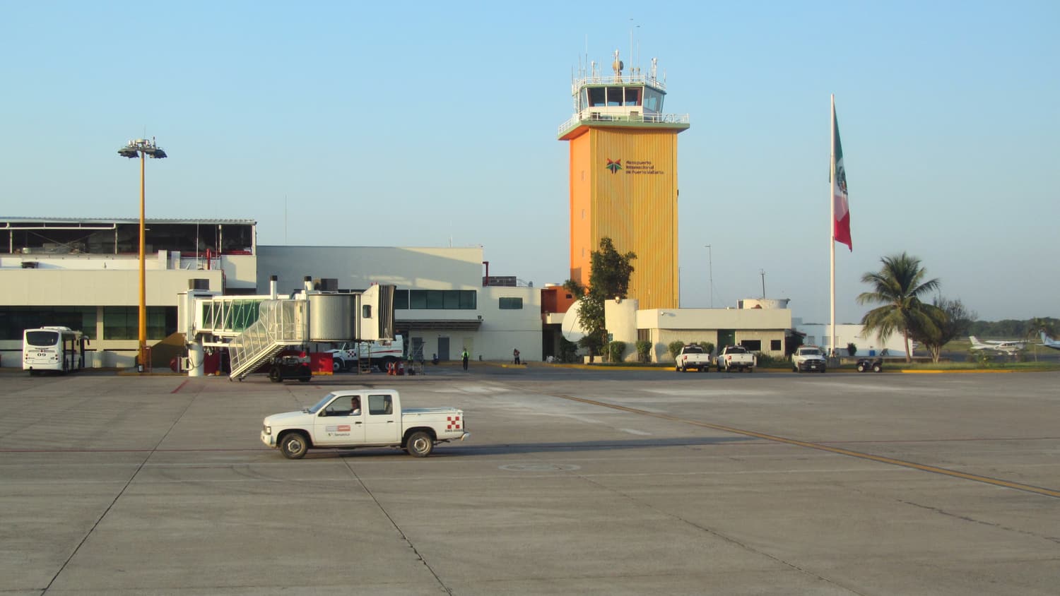
Almost everyone reaches Bucerías through Puerto Vallarta’s Licenciado Gustavo Díaz Ordaz International Airport (PVR), which sits on the bay roughly 20 km south of town. From there the coastal highway (Federal Highway 200) runs north across the Ameca River — the border between Jalisco and Nayarit — past Nuevo Vallarta and straight through Bucerías.
The options at a glance
| How | Journey time | Rough cost | Best for |
|---|---|---|---|
| Pre-booked shuttle or private transfer | About 20–30 min | Moderate — fixed price | Late arrivals, families, luggage |
| Airport taxi (authorised counter) | About 20–30 min | Higher — fixed zone fares | Simplicity |
| Ride-hailing app (outside the airport zone) | About 20–30 min + a short walk | Usually lower — check the app | Light luggage, budget |
| Local bus along Highway 200 | About 40–60 min | Very low — a few dollars’ worth of pesos | Backpackers, daytime arrivals |
| Rental car | About 20–30 min | Car hire + fuel | Day trips up the coast |
1. Flying into Puerto Vallarta (PVR)
Puerto Vallarta has frequent domestic flights from Mexico City, Guadalajara, Monterrey and other Mexican cities, and — especially in the winter season — many direct flights from the United States and Canada, plus some seasonal routes from Europe. Schedules change, so check current timetables.
2. From the airport to Bucerías
- Shuttle or private transfer: the least stressful option. Book in advance and a driver meets you outside arrivals. Ignore the timeshare and transport sellers inside the terminal — you do not need to stop for them.
- Airport taxi: buy a ticket at the official counter inside the terminal; fares are fixed by zone and Bucerías costs more than Puerto Vallarta because it is in another state.
- Ride-hailing apps: at the time of writing, app-based drivers have restrictions on picking up at the federal airport zone itself, and many travellers walk across the pedestrian bridge over the highway to be collected on the other side. Rules and enforcement change, so check the app and current advice when you land.
- Bus: buses heading north towards Bucerías, Punta de Mita or Sayulita stop on the highway side of the pedestrian bridge. They are cheap and frequent in daytime but not ideal with big suitcases.
3. Getting around the bay by bus
Local buses run along Highway 200 between Puerto Vallarta and Bucerías all day, and others continue to La Cruz de Huanacaxtle, Punta de Mita, Sayulita and San Pancho. Destinations are written on the windscreen; pay the driver in cash. They are the cheapest way to explore, but services thin out in the evening — check the last bus back before you set off.
4. Taxis and ride-hailing
Taxis wait around the plaza and along the highway in Bucerías. Ride-hailing apps operate in the area, though availability varies; it is easiest in and around Puerto Vallarta and Nuevo Vallarta. A taxi to La Cruz takes about 10 minutes, to Nuevo Vallarta about 15, to Puerto Vallarta’s centre roughly 30–45 minutes depending on traffic.
5. Driving
A car makes day trips to Punta de Mita, Sayulita and San Pancho easy. The coastal highway is good but busy, with speed bumps (topes) in every village. Park legally in Bucerías — the centre is compact and the streets are narrow and cobbled — and never leave valuables visible in the car.
A note on time zones
Bucerías is in Nayarit, but its municipality, Bahía de Banderas, keeps the same clock as Puerto Vallarta and the rest of Jalisco. Much of the rest of Nayarit runs an hour behind. If you travel further north, or if your phone switches zones near the state border, double-check tour pickup times — and ask operators which time they mean.